RYA-tips #38 – Navigation, the accuracy
Zeilen is een combinatie van wetenschap en kunst. En voor wie daar meer over wilt weten schrijft Albert De Nijs, instructeur bij de De Zeezeilers van Marken wekelijks een rubriek met tips&trics van de Royal Yachting Association.
In previous articles we focussed on the need to build a mental picture and combine that with position fixing in order to maintain situational awareness. We also looked at navigation as a continuous process.
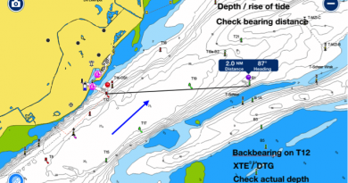
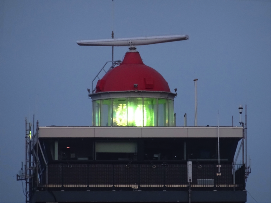
In open waters there is no real need for very accurate position fixing. An accuracy of 3-5 nm is more than adequate to cross oceans. Approaching a shoreline, guidance is available from a lighthouse or fairway buoy. In a buoyed channel the spacing of buoys will be smaller when there is less room for error. Closer to the harbour you might find a sector light. A transit or leading lights will guide you safely into port.
The accuracy supplied by these navigational marks increases when the margin for error decreases.
GPS supplies us with perfect position accuracy, but the digital chart where that position is displayed on, is (much) less accurate. Charts always run behind reality. When shoals shift, a new survey is planned, the buoys will be repositioned and the Hydrographic Office will inform the charting companies. In due time charts will be updated, and these updates must then find their way to your device. There could easily be a delay of several months. In the mean time you are dealing with an accurate position on an outdated chart. In less frequented areas, the surveys on which the digital chart is based could be 100 years old.Don’t get me wrong, I really enjoy all the possibilities electronics offers. Just don’t confuse following a recommended track on an electronic screen with navigation. As mariner you need to know the restrictions and limitations of different navigation systems. By combining independent systems you’re building redundancy in your navigation!
Albert de Nijs, Dutch Offshore Sailing Academy