RYA-tips #16 – Running down the Latitude
Zeilen is een combinatie van wetenschap en kunst. En voor wie daar meer over wilt weten schrijft Albert De Nijs, instructeur bij de De Zeezeilers van Marken wekelijks een rubriek met tips&trics van de Royal Yachting Association.
In recent articles we discussed how to establish Latitude by Merpass or Polaris. Navigating while only knowing the Latitude is called ‘Running down the Latitude’.
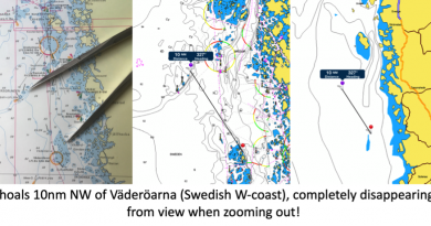
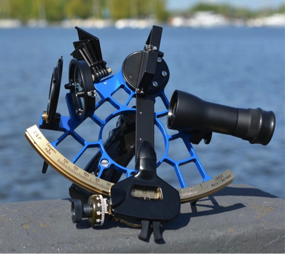
Let’s assume you want to sail from the Canaries to St. Lucia. Proceed SSW until you reach the Latitude of St. Lucia (14°05’N) and then turn due West following that parallel. Navigate by dead-reckoning and update your Latitude by Merpass or Polaris. Sailing this way, you want to reach your Latitude well before your destination in order not to miss it, so it is not the most efficient way. This method has been used for centuries, using devices similar to a sextant (Jacob’s staff, Back staff, Octant).
Finding our Longitude proved to be more difficult, since the exact time is needed for this.
For observers on earth it seems that the Sun turns around the earth in 24 hours. That 360°/24hr is 15°/hr or 1° every 4 minutes. Every 4 seconds the Sun moves 1’ of arc, which at the equator is 1nm (at 60°N it is 0.5nm). Accurate time is essential for astronavigation.
Knowing the exact time of Merpass would allow you to calculate your Longitude. When Merpass at the Greenwich Meridian (0°W) happens at 11:50 GMT and you observe Merpass 2 hours later (13:50 GMT) your Longitude is 30°W. Reliable and accurate timekeeping could solve the Longitude problem.
Standard pendulum-type clocks could not be used on board for obvious reasons. It took until 1761 before a marine chronometer was invented, the H4 by John Harrison, which was accurate on board of a sailing vessel. These chronometers were initially very expensive, but copies based on Harrison’s design later became the universal tool of maritime trade.
In 1875 the French Captain Marcq St Hilaire invented the altitude intercept method. This allowed mariners to fix their position (Latitude and Longitude) during daytime by the Sun (Sun – run – Sun) and in twilight by stars and planets.
The sextant, marine chronometer and the intercept method formed the basis for marine navigation for more than 100 years!
Albert de Nijs, Dutch Offshore Sailing Academy